
Photo by Meyer Liebowitz
nytimes.com - by Jonathan Mahler - December 3rd, 2012
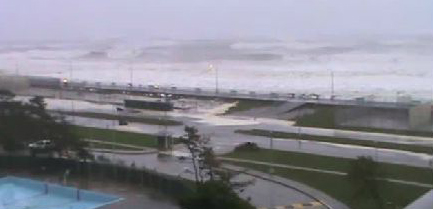
In retrospect, after the storm, it looked like a perverse stroke of urban planning. Many of New York City’s most vulnerable people had been housed in its most vulnerable places: public housing projects along the water, in areas like the Rockaways, Coney Island, Red Hook and Alphabet City.
How is it possible that the same winding, 538-mile coastline that has recently been colonized by condominium developers chasing wealthy New Yorkers, themselves chasing waterfront views, had been, for decades, a catch basin for many of the city’s poorest residents? The answer is a combination of accident, grand vision and political expedience.
[Read Complete Article]


Recent Comments